
 We headed from Selma to Rodanthe in the Outer Banks and noted how the vegetation changed the further we went east. The trees got smaller and some areas became swampy. Then to the marshes of the intracoastal waterways, and finally the sand and primitive beach grasses. Halfway there the caution signs on the side of the road warned to watch for Red Fox and Bear. We also noted the large number of Mexican restaurants and Mexican food stores. We didn't expect the large Hispanic communities we've seen in Tennessee and North Carolina. As we passed each exit Derrille wondered about the large numbers. We knew that Montana is about 704 miles across. We didn't think it was so far across North Carolina. So I checked. I-64 measures 611 miles across North Carolina from Tennessee to the Outer Banks. Wow!
 The land areas of NE North Carolina are a series of large peninsulas made up of smaller peninsula. Rivers, sounds, inlets, lakes and bays carve into the land wherever it can. Bridges and ferries connect different points with each other. A bridge on I-64 crossed to Alligator River National Wildlife Refuge. Once across this peninsula a bridge connects the highway to Roanoke Island.
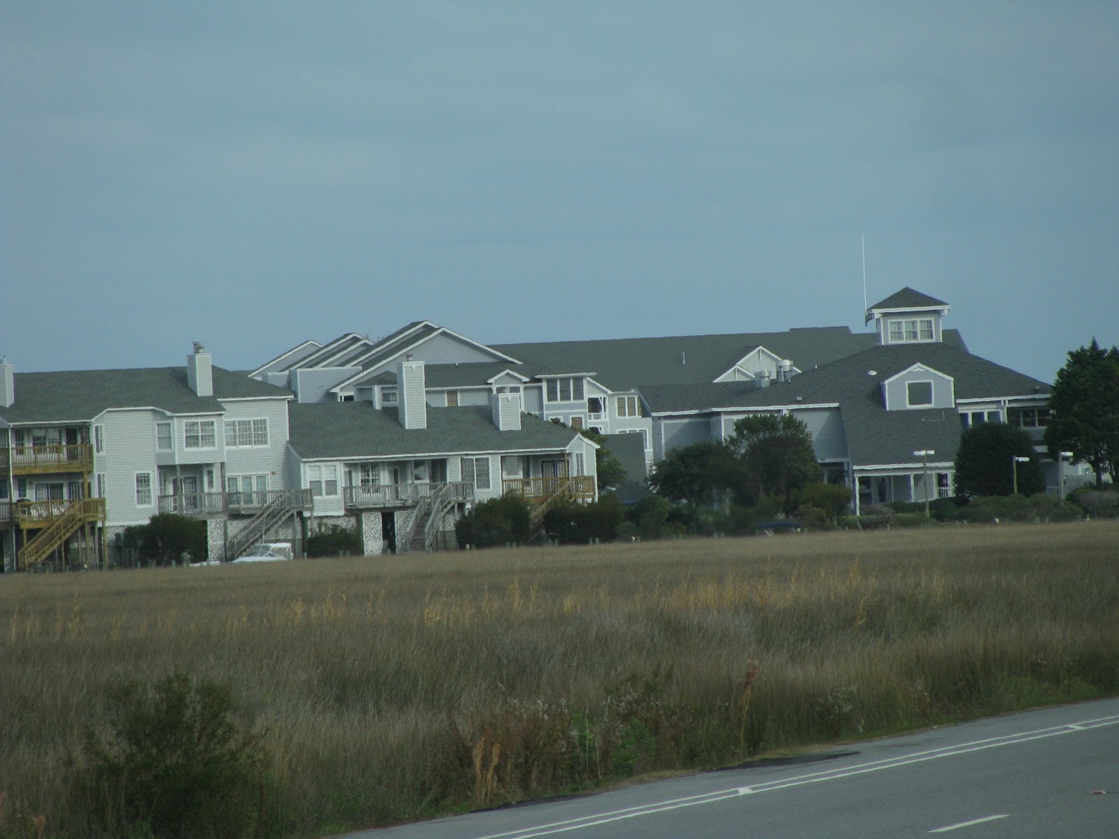
 On the east side of Roanoke Island, the Pirate Cove Community fills a bit of land with its clusters of condos. Canals provide moorage for their boats. At this point I-64 rises over another bridge to carry visitors to the Outer Banks.
And...Thar she blows! Welcome to the Outer Banks where the wind always blows!

 The Welcome to Nag's Head sign greets visitors as they descend from the bridge onto the island. The tour book describes Nag's Head as a hotel and cottage colony. We found it to be the largest and most commercial city on these Outer Banks. According to legend the name Nag's Head came from a time that islanders tied lanterns to the neck of ponies and marched them along the dunes at night. The swinging lights looked like anchored boats, which deceived ship captains into running aground. Then the islanders seized the cargoes. Wood from the shipwrecks was used to build homes.
All modern stores including a Tangers Outlet mall and a regular mall can be found in Nag's Head. Numerous restaurants satisfy all tastes, and most of these are open. One main road passes through the retail area on the bay side of the island.

 Another road parallels the ocean and passes the houses on the east side of the island. Parasailing and hang gliding are among the many activities available to the tourist.
 We found some interesting houses along the beach road.These little houses all had roof decks. They are across the street from the tall houses.
For us, we turn south at this point and enter the Cape Hatteras National Seashore. The National Seashore extends 72 miles south and covers approximately 45 square miles of North Carolina's Outer Banks. This is the most extensive stretch of undeveloped seashore on the Atlantic. One of the nice things is the land belongs to the public and everyone has free access to the beach and ocean.

 Oregon Inlet separates Bodie (pronounced body) Island from Hatteras Island. The bridge connecting the two islands offers a great view of the marshes, beach and ocean.
 This was a favorite view as we traveled up and down the island..
 A dredger worked several of the times we passed by. Once we saw this fishing boat with rigging extended.
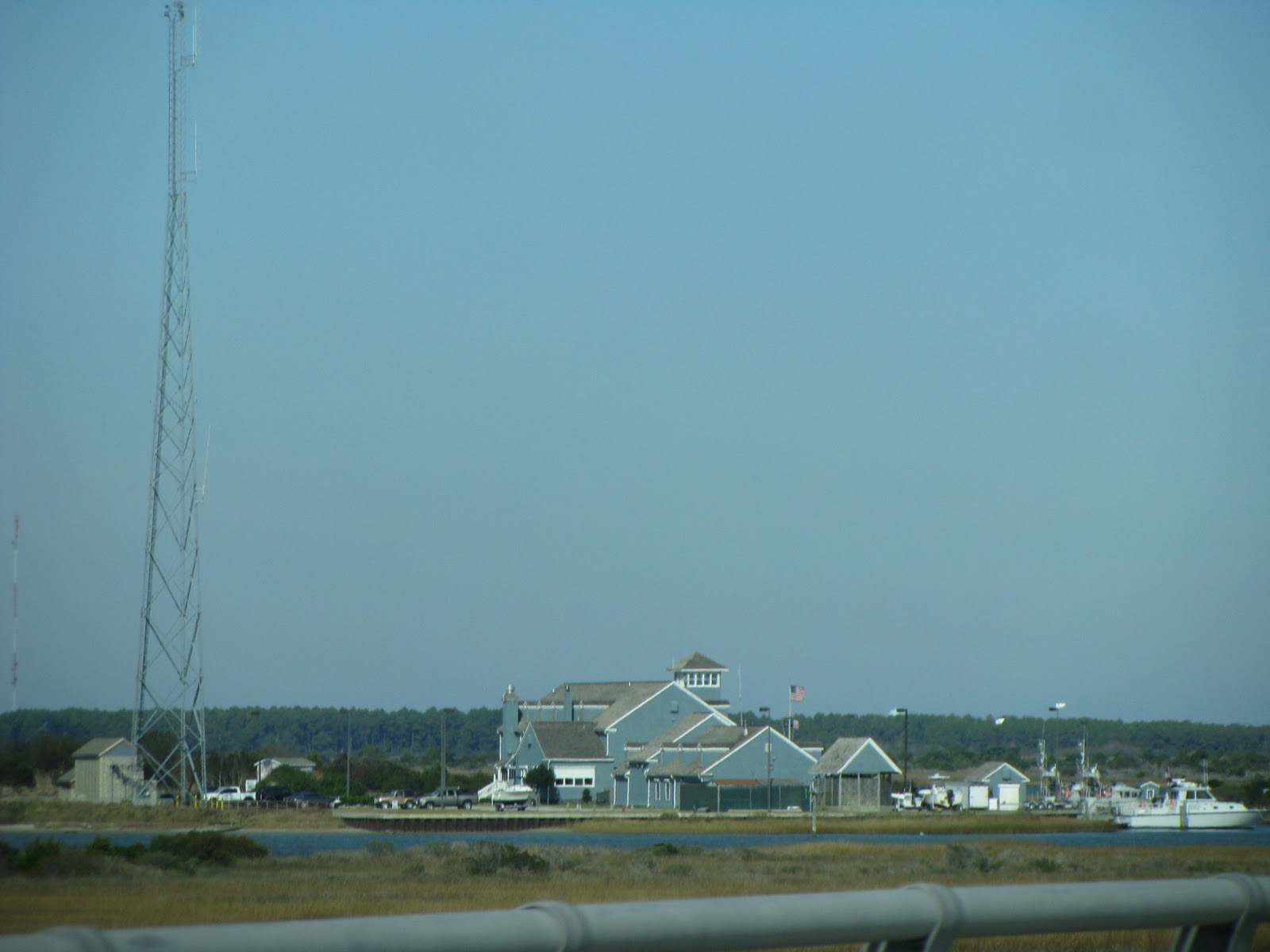 A Coast Guard Station and fishing dock for charters sits on the bay side of the island at Oregon Inlet.

The Pea Island National Wildlife Refuge covers about 5,880 acres of this strand. 250 species of local and migrating fowls use this refuge.

 We spotted several flocks of snow geese in the pond. The refuge has several large ponds and nature trails. We also noted that in this undeveloped land, cell service was non existent.
 Large road graders and bulldozer continually work to keep the sand from taking over the roadway.
Rodanthe, Waves and Salvo make up the next four miles of the island. At this time of year most things were closed for the season. A couple of mini marts and one restaurant were open in Rodanthe. To my delight a tall cell tower loomed above the city. Yea!! Cell phone and computer service!

 Our Camp Hatteras RV Park held about ten winter visitors. Although it had beach front, dunes taller than our RVs hid the ocean view.
 We venture out in the wind and hike to the beach. the beach was lovely white sand and had just a small sand bar for the crashing waves to hit. We envisioned the multitude of people who must enjoy the beach and the water during the warmer days of year. Here is Derrille in his warmest coat with a hood, ear warmer head band and gloves on this beautiful, but very cold day.

We started our first day off with a trip to the vet. Ashley was due for a check up because of one of her meds. We me a wonderful vet who assured us that for an old lady, Ashley is doing very well. Our vet from home calls about once a month.

 We spent the rest of the day exploring the island south of our park. We drove through the National Seashore undeveloped land. The dunes are bare with minimal vegetation.
 We visited the towns at the south end of this island, which are Avon, Buxton, Frisco and Hatteras. Near the ferry dock in Hatteras we found some exclusive homes.
 We found this interesting sign next to the fancy homes. We've seen it before. PUBLIC BEACH ACCESS.....NO PARKING The second sign is a typical access


 During our drive we saw these birds at the side of the road, getting their lunch.
 The beach has high sand banks that the waves attack. I wouldn't feel safe entering the surf here.
 In Buxton, we drove out to see the Cape Hatteras Lighthouse. The tallest brick lighthouse at 208 feet warns ships away from the "Graveyard of the Atlantic". When open visitors can climb the 268 steps to a balcony with a great view.

 Many of the SUVs on the road have fishing rod attachments on the front of the vehicle. Some even have coolers for their bait and catch and a cooler to quench the fisherman's thirst.
The wind blows constantly across the Outer Banks. It comes out of the northwest. During our stay we had wind gust up to 40 mph. We even closed the slides on that side of the rig a couple of days to help with the wind and the cold temps. Nighttime temperatures dropped below freezing several days. One evening snow could be seen in the falling rain. Brrrrrr.


 In the visitor center a well spoken volunteer delivered an excellent talk on the achievements of the Wright Brothers. The brothers had to solve the problems of pitch (side to side movement), lift (going up and down) and yaw (how to turn). People have spent centuries trying to figure out how man could fly. The Wright Brothers were the only one that solved the three elements of flight. During their trials they discovered that the math standards everyone used must be wrong. So they build a wind tunnel and conducted their own tests. The brothers calculated the amount of surface area required for lift as .33. In today's world the standard surface area required for lift, determined by modern means, has been calculated at .3289.
 A model of their first plane fills the flight room area. The walls are covered with portraits of people important to the field of aviation. A museum and gift shop also occupies part of the center.
 On the grounds of the memorial an interesting structure, part tent, part building held displays of flight. One exhibit showed how the brothers lived while here. Another told of the development of the memorial. Other areas showed the elements of aviation that the brothers worked with to make a real flying machine.
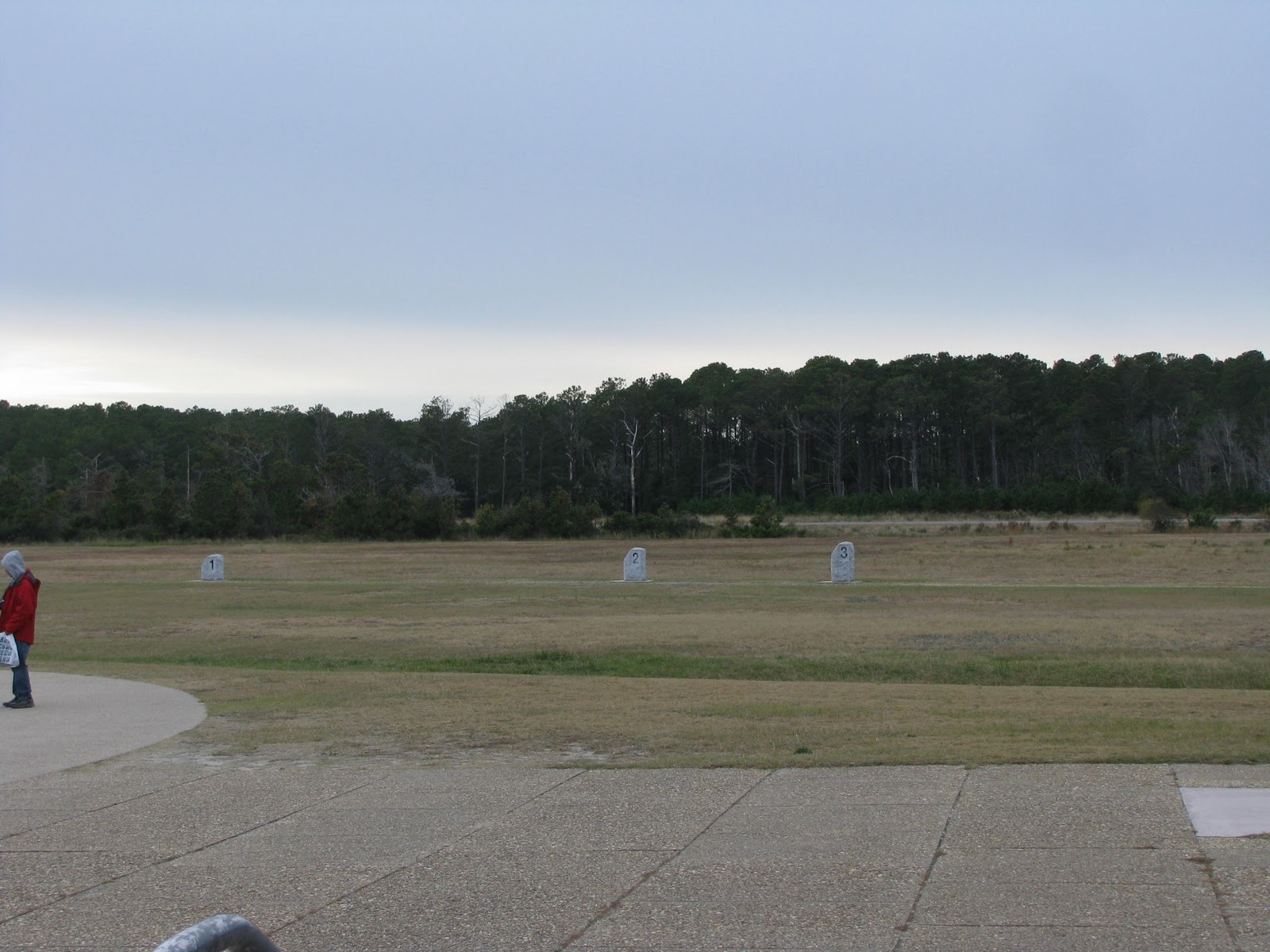 Out in the field markers show how far each of the first four flights went in 1903. The original hanger and camp house are still there too.
 A high dune sits a ways from the original hanger. During 1903 the dune was about 400 feet closer. Today it holds the large monument dedicated to the brothers and their achievements. I think it was just 65 years after that first flight that we landed on the moon. and yet another WOW!
The high bare dunes are part of Jockey Ridge State Park in Nag's Head yet today.

 The temperature the day we explored Roanoke Island called for winter parkas and furry headbands. We drove through the waterfront area. The shops looked quaint and inviting. Buildings seem to resemble that of an Old English village.
 This brightly dressed young lady caught my attention. My best guess is she was celebration the 15th year of a Hispanic miss. I can't remember the official name. Loved the dress!
Just off the waterfront we discovered Festival Park. The complex here includes a replica of Raleigh's ship the Elizabeth II, a museum of Roanoke, a hands-on Adventure Museum, a theater, an art gallery, a store and the Outer Banks History Center.

 Next we drove to Fort Raleigh National Park. The story of the "Lost Colony of Roanoke" is portrayed in a summer play and told in the museum exhibits. For those who don't remember, a colony came to settle here. Food was short, so some returned to England to restock the supplies. However, war interfered and the ship didn't return for three years. Upon the return no trace of the former colony was found. It is still a mystery. According to the sign, Virginia Dare was the first child born in America of English parents.
 We walked to see a reconstructed earthen fort. Although it looked too small to hold back much of anything. A nature walk was there too. However we were freezing and headed back to the car.
 My plan had been to move to the next set of outer banks. However the park where I wanted to stay was closed for the season. So I chose an alternate in Hubert, NC.
No comments:
Post a Comment