#49 Cape Spear
Saturday August 31,
2019

We will be touring
around St. John’s for the next few days.


The road to Cape
Spear begins with a mural.


As you wind your way
up the hill to Cape Spear, you can stop at a lovely lookout.


Reader boards point
out the buildings of St. John’s. It was
a beautiful day, and a beautiful stop.

Some newlyweds took
our photo.


At Cape Spear the parking lot sits well below the hill. There is a parking lot closer than this one.


To access the lighthouses we again climb a combination of stairs, boardwalk and paths. For you step counters…..Lynn and I walked 9000 steps while touring today.


The newer lighthouse provides guidance for seagoing traffic approaching or leaving St. John’s. It is a modern, active guide. An art gallery sits at its base. The gift shop is getting remodeled, but the gift shop at Signal Hill has Cape Spear things too.


The older Cape Spear lighthouse commemorates the age and architecture of the oldest surviving lighthouse in the province.


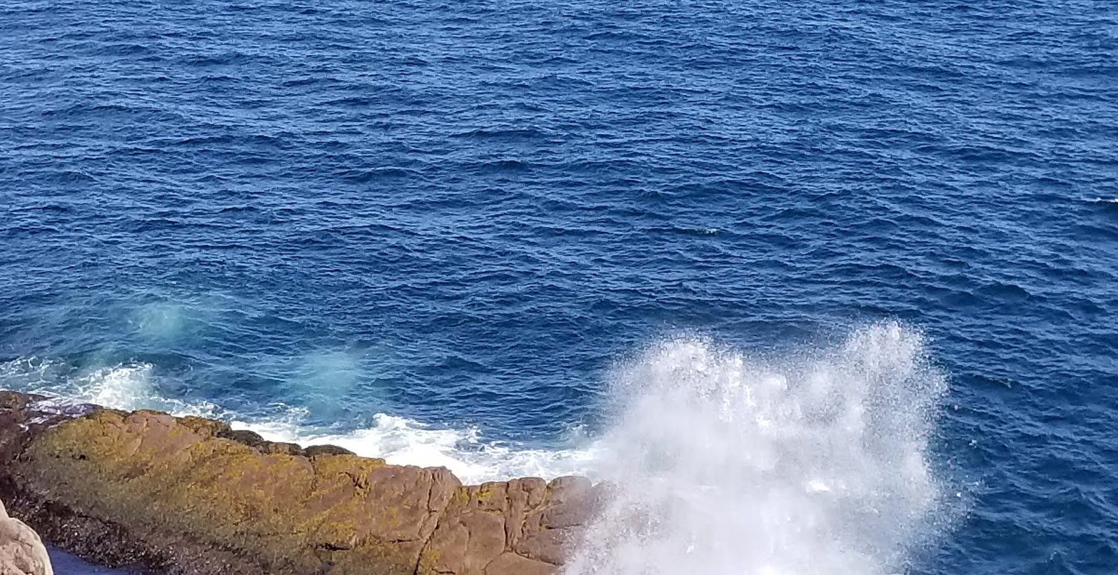
As we stood at the
fence, we looked at the North Atlantic Ocean

We have toured many,
many lighthouses and we have never seen as nice a bedroom in a keeper’s house
as the one here.

Those who slept upstairs didn’t get the same
luxury.


One room on the second floor stored all the kegs of supplies. Oil for the light could be taken upstairs, 3rd floor. Food stuff could be taken downstairs to the kitchen.

Check out the glass
chimneys! I guess you would need a
supply of them.

This looks like a work room.


Back on the first floor the rooms seemed to include nicer furnishings than others we have seen.


The views from up here showed the sea and St. John’s. This logistic boat for the oil rigs was practicing drills and testing equipment this day. We think it is a platform service vessel.


These signs are all over the cliffs, and yet people still go out too far and fall to their deaths. It is a long way down. Thus proving not all the stupid people are dead yet. The week before a lady was on the edge taking a selfie, a man was taking a photo of her taking her selfie when she slipped and went over the edge.

Cape Spear sits on the easternmost point in North America. One of our reasons for coming here today!


Derrille the engineer was trying to work out
just where it should be. We thought
perhaps here outside the battery. We have seen enough batteries at home, so we
skipped going through this one. During WWII soldiers stationed here watched for
enemy warships, planes and submarines.
St. John’s was a main base for a fleet of warships charged with
protecting convoys carrying supplies and soldiers to Europe. The ships depended on St. John’s for vital
supplies, fuel and repair facilities.

The park says here at
this giant memorial rock.

The park ranger says
really in the red chairs. So wherever it
is, we were there!


Derrille and Jay
found this marker for Point 0 of the Trans Canada Trail.

After a few more
reader board and lunch in the car we headed down the hill. We saw Cape Spear on a beautiful summer day. However one of the soldiers stationed here described it as cold, foggy, wet, windy and the worst station he had ever experienced.


We found this house on the road off the hill. My photos can hardly do it justice.


The Belle Island keeper, Philip, told us not to miss Fort Amherst. Philip was raised in the Fort Amherst neighborhood of St. John’s. So out we drove! We saw these rock terraces on the way.


We followed the bay
around the east side. The boats with the deep bows are oil supply ships that take goods out to the oil rigs.

The Captain Roger is
one of several Coast Guard ships here with the Coast Guard Station.

The Coast Guard has a lovely newer building and several of their ships tied up nearby.


Once again we park and walk in.


This lighthouse in not active, but the views are great. The houses that were once used by light keepers are now private residences.


Looking across the entrance to St. John’s harbor, you see Signal Hill. The line just above the top fence line marks the North Head Trail. You can see it wind around the hill side and up to the top. Jay and Derrille will walk it tomorrow and enjoy the climb. Fort Amherst sits on the south side of the St. John’s Bay entrance. Signal Hill sits high on the North side.

Looking southeast
from Amherst we can see Cape Spear in the distance.


We captured some of the colorful St. John’s houses across the bay on Signal Hill.
Note: Getting around St. John’s can be a daunting
task. The city is laid out like a
protractor. Roads radiate from the
harbor, crisscross and bump into each other at angles. A straight route from point A to point B
simply does not exist. After 5 days we
were recognizing some of the streets.


The houses and stores
in much of St. John’s are built as row houses; each painted a bright color to
give the city a kaleidoscope effect.
Single dwellings also use some vivid paint. I regret not buying that driftwood
representation of these houses when we were in Dover.


Whimsy pops out here and there.

This War Memorial is
located downtown.


The harbor is small but deep. Many of these ships provide support services for the oil rigs.


Cruise ships come and go here. We saw two different ones during our time here.
Tomorrow we visit the
north side of the harbor.
No comments:
Post a Comment