Update 17: Annapolis Royale, Nova Scotia July 27-28, 2010
We moved from the east side of Nova Scotia to the west side which shares the Bay of Fundy with New Brunswick. The downtown of Annapolis Royale equals one street about two blocks long. This very small waterfront area uses brightly colored old Victorian buildings to create the quaint village look. Several artists call this home and advertise wares for sale. Fort Ann and historic public gardens make the tour guide.
However on our one day blitz of the area we decided to spend our time on a peninsula south of town. This particular peninsula has St. Mary's Bay on one side, and the Bay of Fundy on the other. Through the town of Digby, we followed the singular road that divided the peninsula vertically.
The end of the road drops down into the water where sand forms a natural ramp for the ferry to load and unload cars. Two little islands sit south of the peninsula tip. The first ferry delivers you to Long Island. The road down Long Island extends for18 km until it drops into the water and the sand ramp begins. We take a second ferry to Brier Island. The paved road across the waterfront extends for about one half mile. At the end of the pavement to the west a dirt road winds around another half mile to the lighthouse.
Those who chose to follow the dirt road are treated to a spectacular view from the lighthouse cliffs. Wild roses with pink blooms, wild strawberries, dwarf evergreens, low growing shrubs, ferns and wildflowers blanketed the hillside. Small trails crisscrossed the hillside and some led to the where the cliff stopped and the angular rock slabs became the beach.
The lower section of rounded, black, wet, and slick rocks awaited the next tide.
Further back cubes of grey rock looked like blocks carelessly tossed on the beach. Following the advice of other hikers, we moved away from the lighthouse to the second cove. There we spotted five seals cavorting in the water. Unlike the seals at Fort Flagler, these seals were to far away to see their eyes. Thick sludge-like mud puddles block some of the trails. One lady mis-stepped and the mud swallowed her shoe, submerging her foot. In an effort to avoid one large mud bog we chose a different path back. However we missed a turn and found ourselves moving in the wrong direction. Derrille scouted out a path, but it ended in an even bigger puddle of sludge. Lynn, Jay, and I went looking for an alternate. Like a maze, several attempts were cut off, until with Derrille's help we found our way back to the car.


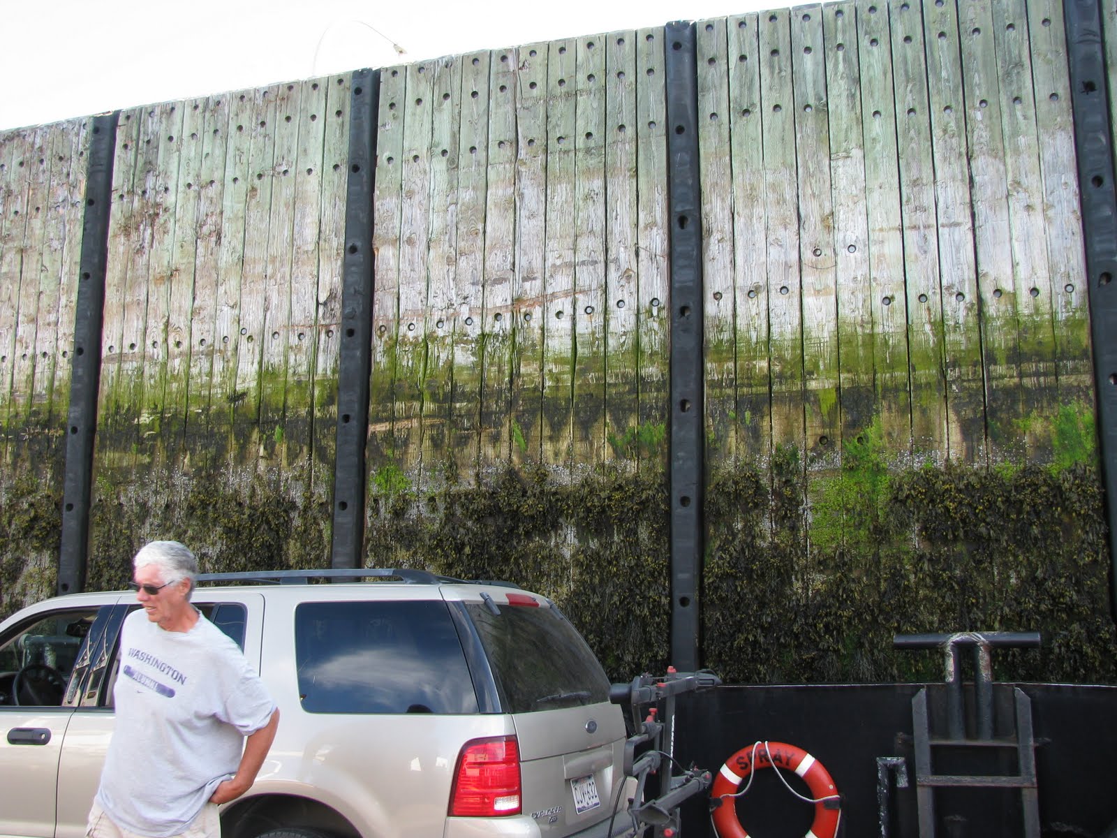
We headed for the ferry and just made it in time. The ferry ramp dips down to meet the sand ramp. The ferry does not tie up. After a few cars load, the pilot must move the ferry out into the water a bit to avoid getting grounded in the mud. The tides here are exceptionally low, so the ramp sits at a very steep angle. As each car ka-lunked down the ramp drivers looked around to see if the car is still in one piece.The bigger ferries hold about 15-18 cars. They sail every hour and half hour depending on which side you happen to be on. Derrille and Jay talked with the ferry workers. They work 12 on/12 off for three days. Then they get three days off. Each week the 12 shifts change between day hours and night hours. One worker they talked to will retire next April after working this shift for 35 years!! His son is now working year four.


Water drenched seaweed clung to the bottom of the pilings while exposed by the low tide. To have the seaweed eye level in the car felt strange. The top of the pilings were way above the ferry. Boats in the harbor of Brier Island sat in the mud, waiting for the incoming tide.
We got back late again, but a treat was going through town just after dark. Home were lit,, but curtains still remained open. The beauty of the Victorian homes by day magnifies after dark, The upstairs and downstairs chandeliers reflect an opulence of another time. Some of the B & B's added outside lighting that enhances the magic of the old houses.
We kept the same pattern after moving to Truro: park the RV, hop in the car and drive to the sights.This time we were off to Cape d'Or.
On the way we stopped at the Cobequid Interpretation Center in Economy, NS. They sent us to Thomas Cove in search of eagles, kingfishers and herons. With the tide still outgoing, the cove showed a meadow of damp grass that fluttered with the breeze. The high cliffs almost totally surrounding this little cove created a feeling of protection and refuge not only for the birds, but for the human spirit. Of course if the tide came in, we'd be underwater judging from the high tide markings.
Jay had read that the tides here come in about 2 meter per second. It would take a very brisk jog to beat the tide in, especially if you were out in the mud flats which extend 8 km from the shore in some places.
We saw no birds or wildlife of any kind in the cove. We only heard the wind and whatever noise the four of us made. We did see a good size doe on the road in. She stood staring at us with a "what are you doing here" look. She waited until we moved before she bounded into the forest.


Most of the villages along this stretch of road barely qualify as a "town" they are so small. After several hours we neared Cape d'Or. The road began to curve in twisty turns and bump in disrepair as well and rise and descend a series of high hills. Then we left the paved road, continuing on dirt to the top of a high cliff. From here we looked way down to the triangular shaped cape with a small lighthouse near the tip. Back further was a closed restaurant and another building. The restaurant invited people to walk on down. One hikers we met said the trip down wasn't bad, but coming back up was tough. We decided to not take the trip down, but use the reader boards and two viewing platforms would be enough for us.
From the reader board: "Every 6 hours and 25 minutes about 5 sq.miles of water flows through the Minas Channel...more than the daily outflow of all the world's rivers. The huge volume of water is driven by the tremendous gravitational forces of the moon. This pushes the ocean water into a shelving and narrowing bay at speeds of 15km or about 10 miles per hour. Thus creating the world's highest tides. The north end of Fundy Bay experiences 56 foot tides. This part probably goes out about 35 feet.
When the rising tide approaches the cape, a side current flows into Advocate Bay (on the right). As the bay fills the water flows diagonally back into the main stream along the front of the cape. Meanwhile, the main stream is forced upward over an underwater basalt reef off the cape producing near vertical waves or "overfalls." Beyond the cape another side current floods Grevillle Bay (on the left) forming a back eddy against the shore. The eddy's outflow rushes out the back of Cape d'Or colliding with the Advocate Bay current as it rejoins the main stream. The three streams of water: one behind the cape, one in front of the cape and one under the cape combine to create the fierce turbulence known as the Dory Rips".
Apparently this is quite a sight. Derrille read an article about it somewhere. We didn't get to experience this time, but the coastline was rugged and beautiful. The short squat lighthouse didn't meet our expectations of a tall stately structure to match the drama of the currents, but it did get the job done.

Again it was late and we were hungry. Our pursuit for food took us to Spenser's Island...which really isn't an island. The road stopped at the beach with an RV park on one side and a funky old building on the other. The antique building painted mustard yellow with orange trim looked like a questionable place to dine. Farm tables filled the main area. Five tables sat on worn and faded Persian type carpets and one had a black bear skin under it. Mismatched antique wooden chairs, each with a cushion of some kind, awaited customers at each table. Windows with original wavy glass faced the water. On the opposite wall stool shelving that filled the space wall to wall, ceiling to floor. They resembled general store shelves of the 1800's, and were filled with an assortment of restaurant needs, photos and antiques. Beyond the shelving, toward the back corner a cloth curtain swung in the kitchen doorway. A peek through revealed a vintage kitchen. Beyond the eating area a hallway led to the back and an ice cream counter. Perhaps this was a general store with living quarters in the back in a previous life. A chalkboard hung from the ceiling displayed the 5 entree choices, or a small free standing board had the lunch choices. Some items seemed pricey on the dinner menu. However...it was late. We were hungry. We were here. Not much was down the road, and if we found something, would it be open? The man was nice. We stayed.
Homemade multigrain bread with a touch of caraway seed arrived warm and melted the real butter we applied to it. The heavenly taste had us asking for more. The salad contained a large variety of fresh ingredients. The dressings arrived in a wooden 6-pack mini crate. Each entree came out as it was ready. I ordered chicken. It arrived on a bed of rice with stir fry veggies on top. Around the chicken were a pile of garden fresh carrots, one of green beans, one of waxed beans and a single floweret of broccoli and cauliflower topped with cheddar. Price: $15. Taste: FANTASTIC! Each of enjoyed our meals. Once again we had stumbled into a jewel of a restaurant.
With a feeling of satisfaction and contentment, we head back to the RV in the dark.....again.
Next: Cape Breton


No comments:
Post a Comment